


General Introduction

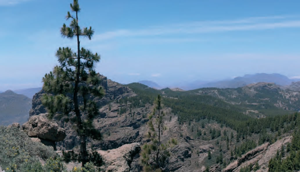 The trails described in this guidebook afford the walker access to a range of natural treasures, spectacular landscapes with spots of stunning beauty, grand natural monuments, striking gullies and other remarkable geological formations, endemic flora and fauna and a variety of memorable villages and hamlets.
This guide offers the walker the chance to get acquainted with the network of trails that covers the Vega de Vega de San Mateo, Tejeda, Valsequillo and the Villa de Santa Brígida, which links quarters or hamlets within the same municipality or with neighbouring municipalities. These are the same paths that the inhabitants of these areas have traversed for centuries, since well before the advent of motor vehicles, along which, either on 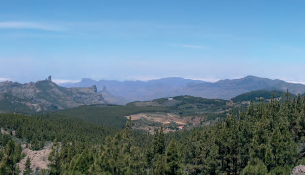 foot or with the help of carting animals, they transported food and other resources, as well as oral or written messages between villages or hamlets isolated by the abrupt terrain.
Thanks to a new social sensitivity, eager to preserve customs and traditions -the values that identify a people-, and to a new way of understanding and relating to the environment, public bodies have gradually been recovering and rehabilitating a part of this network of paths, occasionally hidden under overgrown vegetation, to incorporate them as a further resource to the endogenous development of the region's municipalities.
The middle mountain region municipalities associated in the Mancomunidad de Municipios de Medianías de Gran Canaria offer their visitors a wide ranging choice of restaurants and  accommodation and of cultural activities and events, with the added value of a natural environment that boasts unique geological and geomorphological features, flora and fauna, all of which can be enjoyed from the excellent network of trails.
Aims of this guide book
· To provide visitors, especially walkers, with a useful tool to become acquainted with the natural and cultural heritage of this region.
· To encourage the reactivation of traditional activities and the development of new innovating alternatives to conventional sun & beach tourism. Tourists increasingly look for higher quality natural, cultural, sporting, scientific and rural choices.
· To support in a solid balanced fashion the social and economic development of the Middle Mountain region of Gran Canaria, which will, no doubt, increase the standard of living of all its inhabitants.
· To offer an additional educational resource that underlines the value of environmental awareness.
· To divulge the historical, cultural, ecological, tourist and recreational, socio-anthropological sources of knowledge that the trails provide.
· To display a varied range of landscapes, making use of the trails as corridors connecting important natural spaces in the island.
· To offer a closer look at traditional farming culture.
· To design itineraries that clearly reflect human intervention in the landscape, as well as historical and artistic information related to the municipalities the trails go through.
· To provide the Mancomunidad de Municipios de Medianías de Gran Canaria, the Cabildo (the island's local Government), the Asociación Insular de Desarrollo Rural, AIDER, (the island's Association for Rural Development) and the Association's participating Town Councils, with a document that will help them increase the quality of the region's -and the island's- leisure time offer.
The Guide to Walks in the Middle Mountain Regions of Gran Canaria meets important objectives set out in the UN Local Agenda 21 programme, joining a process that seeks to develop a sustainable, environmentally compatible, social and economic development of the Middle Mountain Region and, consequently, of the island in general.
Structure
This guide book seeks to divulge the most remarkable aspects of Gran Canaria's Middle Mountain Region, its environment, landscape, climate, vegetation, history, and culture. The trails described are easy to follow, and they are suitable for lightly physically handicapped visitors, or for the mentally or sensorially handicapped with the help of a guide. The target users of the guide are all those who visit or overnight in this region, school children and students, and nature and history lovers.
The guide is organized around four municipalities, Vega de San Mateo, Tejeda, Valsequillo and Villa de Santa Brígida, with nine itineraries described in each case. The trail descriptions include the following information:
1. General characteristics. The most remarkable features of the natural scenery or historical elements through which the trail passes are explained.
2. Description of the trail. The route is described and identifiable landmarks listed, which, together with the maps enclosed, make it easy to follow the trail.
3. Specific information sections. With every itinerary, some aspect of the area is further explored, providing the walker with interesting, additional information on a variety of topics relating to local flora, fauna, history, traditions, gastronomy and so on.
4. Technical information. This section includes all the technical information the walker requires, including the following:
· Technical chart: it is to be found in the book, at the end of every route, and on the corresponding map. The chart lists a range of parametres per trail stage, such as direction, height difference, distance, walking time, gradient and degree of difficulty.
· Topographic outline: it describes the height difference that characterizes the trail. It is to be found at the end of each route's description and on the walk's map.
· Map: A fundamental part of the guide. Each itinerary is represented on a topographic map at a scale proportional to the length of the walk. There are 36, A3-sized individual maps enclosed with the guide.
Recommendations
One should always:
· Wear suitable clothes and shoes: light and comfortable clothes, one warm item, waterproof jacket (if the weather demands it), a cap or hat and walking boots that support the ankles well and with good grip.
· Take a small backpack.
· Bring water and high energy food. It is recommendable to carry fruit and/or nuts in your backpack, especially if you are planning to go on a long walk.
· Use suitable sun cream for effective protection even if it is cloudy.
· Make sure you bring along a compass and a mobile phone.
· If using bus services, make sure you know what their timetable is: in the most remote areas services might run infrequently.
· When walking on a road, walk on the left hand side.
· Be extra careful in rainy weather.
Optionally, you could also bring along:
· A camera.
· Binoculars.
· A flora and fauna guide.
Acknowledgements
We'd like to express our gratitude to all those who either directly or indirectly have enriched this Guide to Walks in the Middle Mountain Regions of Gran Canaria with their contributions.
We are especially grateful to D. Manuel Luis Gil González, D. Luis Quintana and Doña Maruca, in the Cruce del Aserrador; to D. Juan Ramírez Araña, in La Culata; to D. Esteban González, in Cueva Grande; to D. Achimencey García Lorenzo, in Valsequillo; to D. Daniel Monzón Santana, D. Pedro de Vera Rodríguez, D. Manuel González, Dª. Luisa Carballo, D. Periquito Navarro, Doña Esperancita Alejandro, D. José Peñate and Doña Mª Rosa Navarro Mima), in Rincón de Tenteniguada, as well as to all the artisans and cheesemakers in the region.